TERRA FRACTURA: A Visual Survey of Manmade Earthquakes
2015 - present: Project Research and Principle Photography Ongoing
America’s continued dependence on fossil fuels has lead us to a breaking point. With a focus on oil and gas independence from other countries, we have turned to the aggressive process of hydraulic fracturing, or ‘fracking’ as a means to extract oil and natural gas from the earth. The process has been linked by scientists to man-made (induced) earthquakes, air and groundwater contamination, health issues in livestock and humans as well as dangerous pipeline and well blowouts.
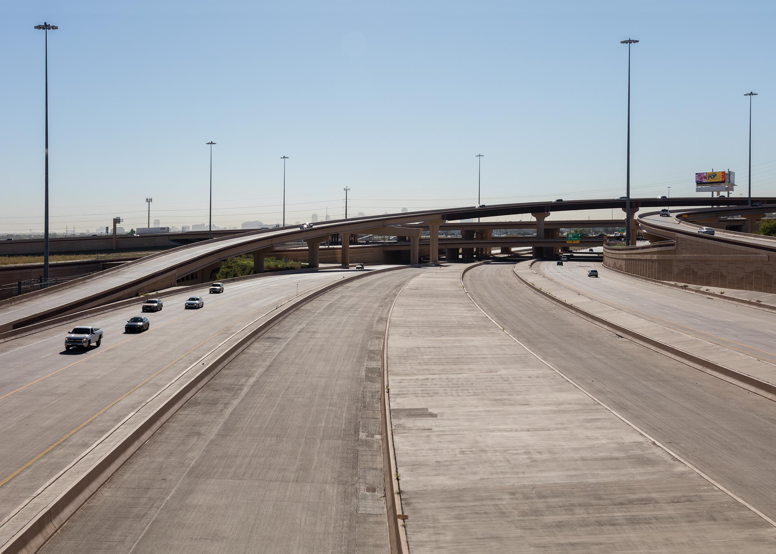
Prior to a series of 10 earthquakes within 24 hours around Halloween of 2008, the Dallas-Ft. Worth area had virtually no earthquakes on record. Since then, the number of earthquakes and their magnitudes have been increasing at an alarming rate, with over 81, at 1.5 magnitude or higher, in 2015 alone. The Dallas-Ft. Worth Metroplex sits on top of The Barnett Shale Formation, encompassing 17 counties in Northeast Texas impacting a total population of about 6 million. Texas is no stranger to the oil and gas industry, eventhough only 2% of Texans hold mineral rights. Yet, the Texas State Legislature passed House Bill 40 in May, 2015 — effectively siding with the oil and gas companies against local citizens by overturning a fracking ban in Denton County.
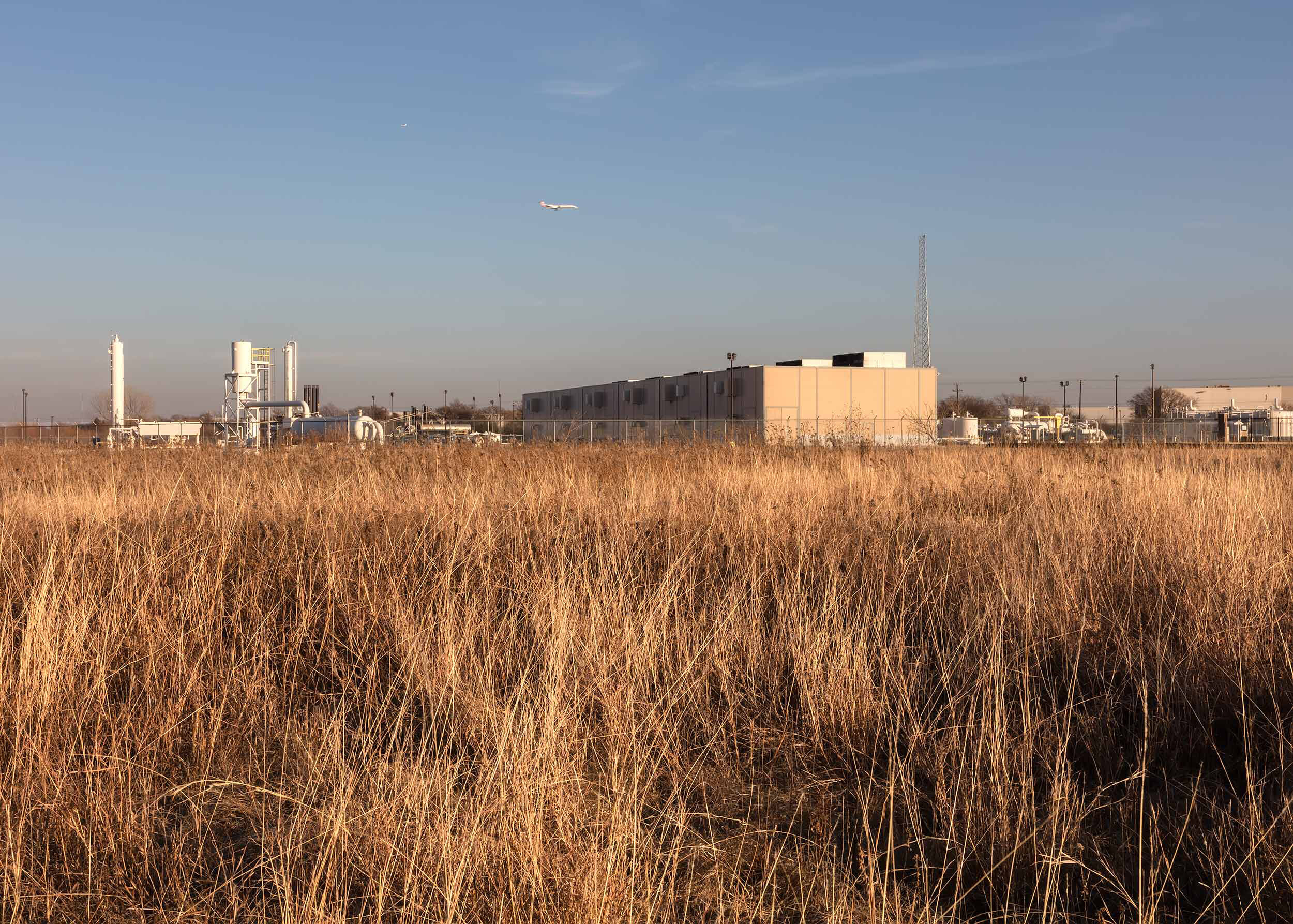
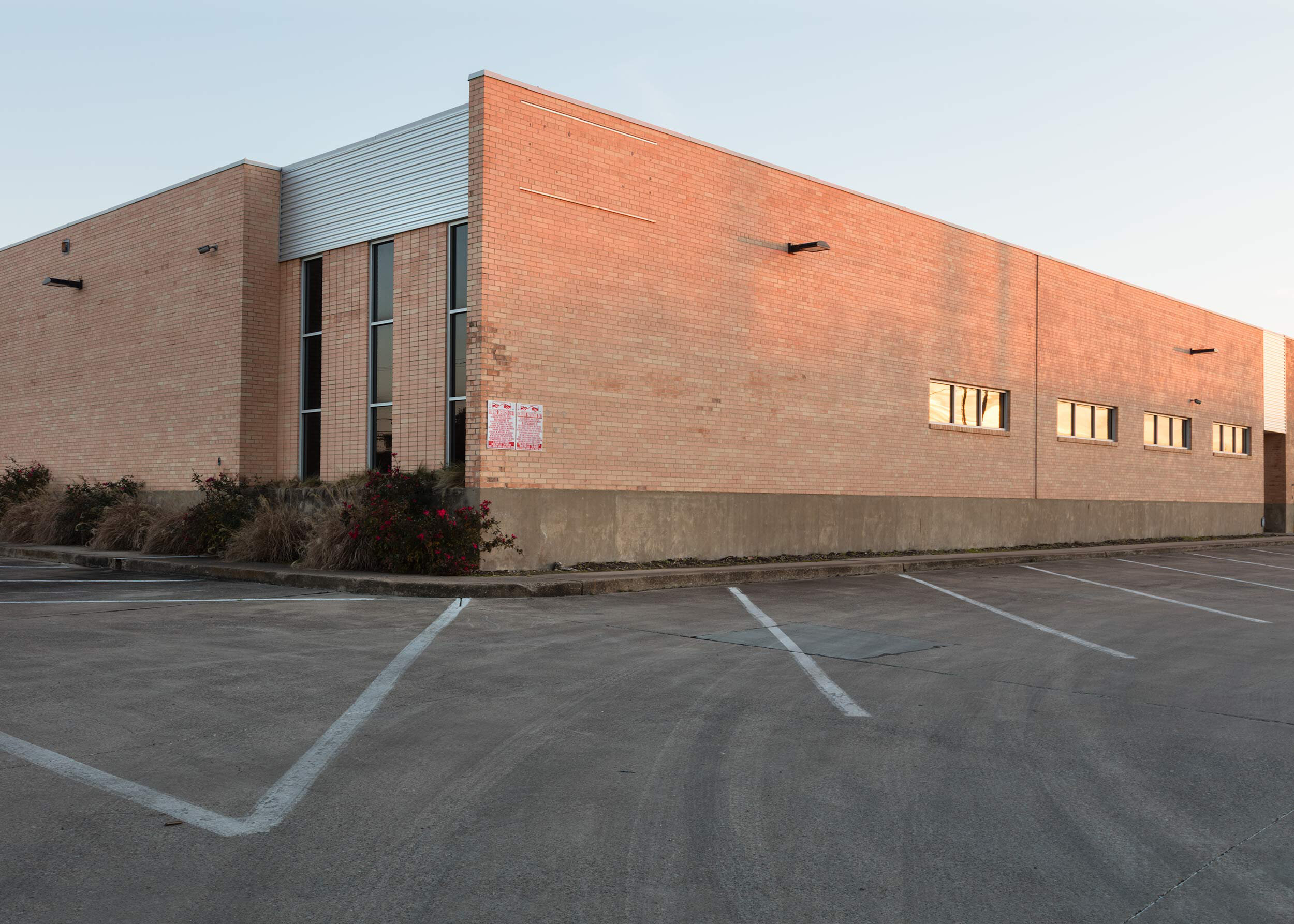
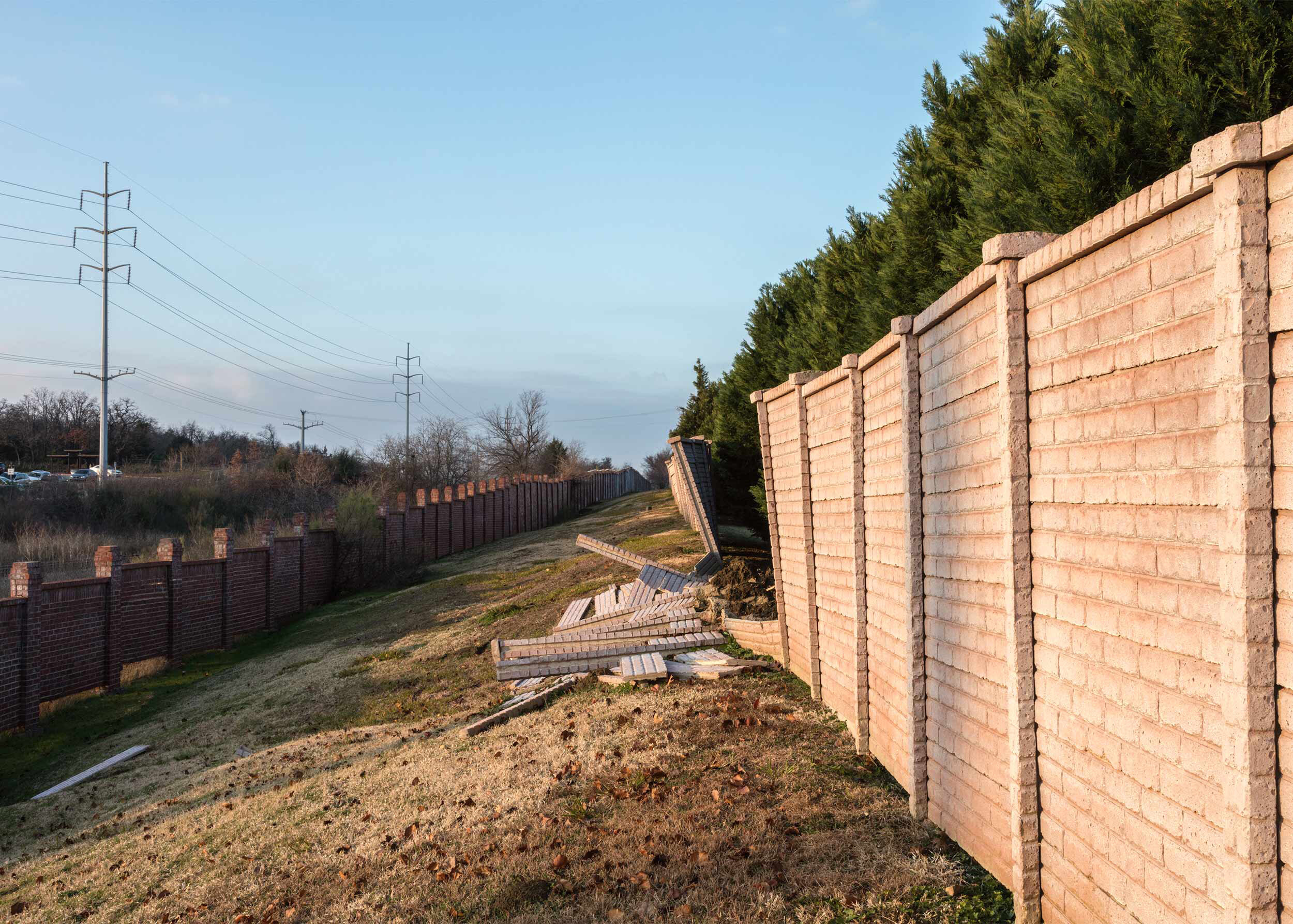
The images below are epicenter portraits of earthquakes that occurred in The Barnett Shale Formation and are just one of the chapters that will comprise the entire series. Shale formations lie quietly below most of the Earth’s surface, making this project relevant to everyone. And indeed, seven other U.S. states— 17 areas within those states — are dealing with the exact same issues: Oklahoma, Ohio, Alabama, Arkansas, Colorado, Kansas and New Mexico. They too are enduring silent government officials, minimal regulation, and lack of local media coverage.
NOTE: Hover over the images for image titles, location and year photographed.
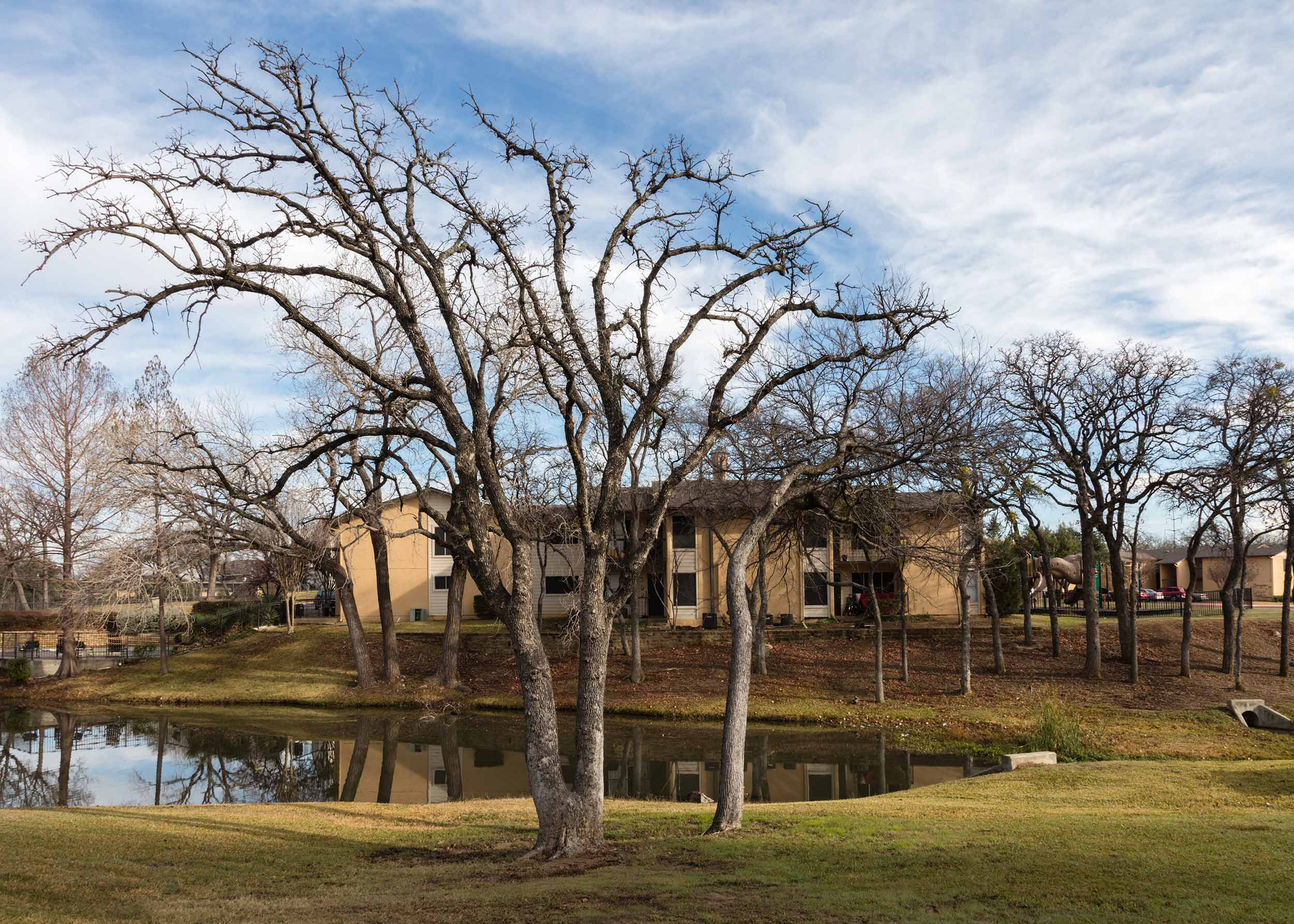
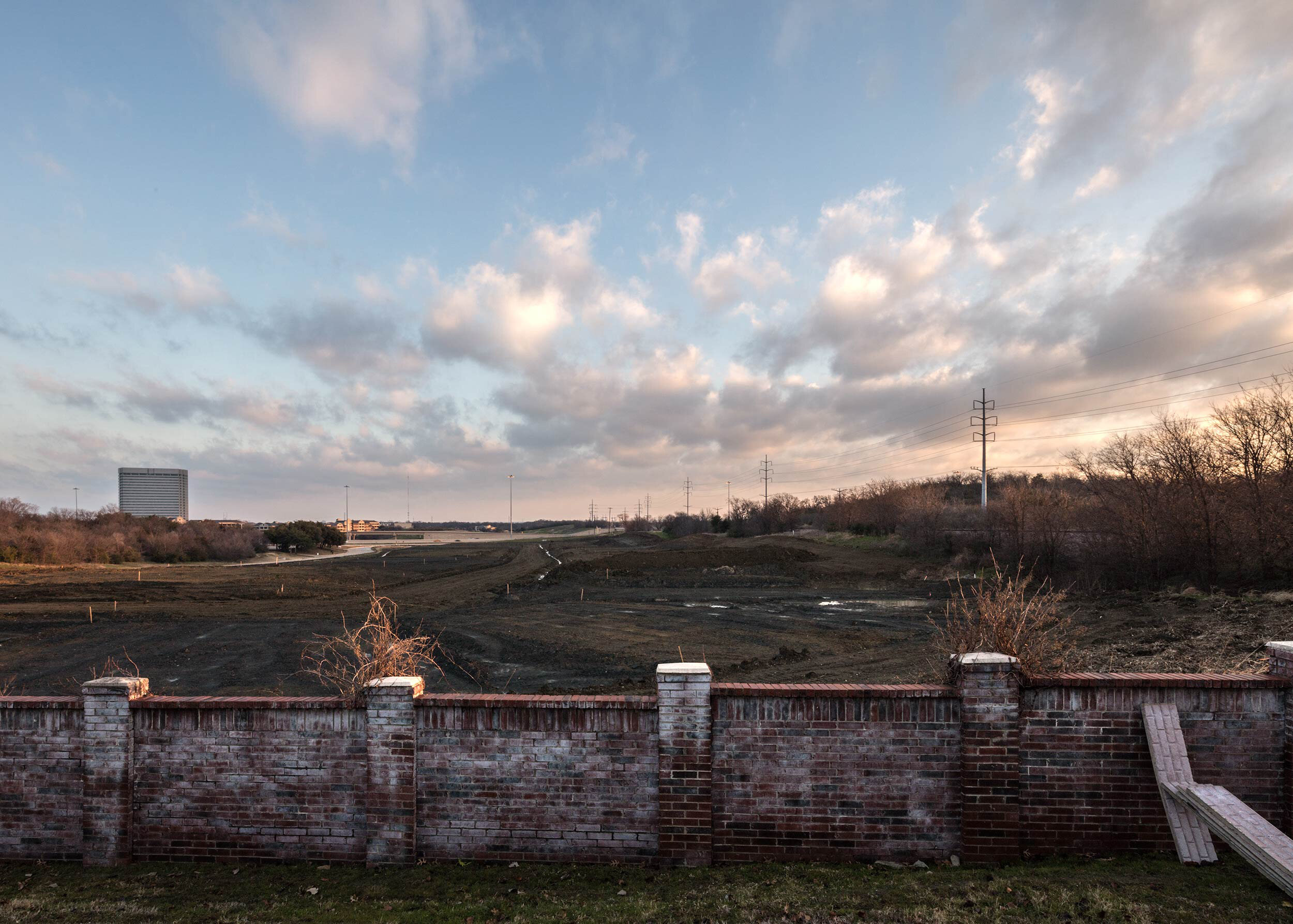
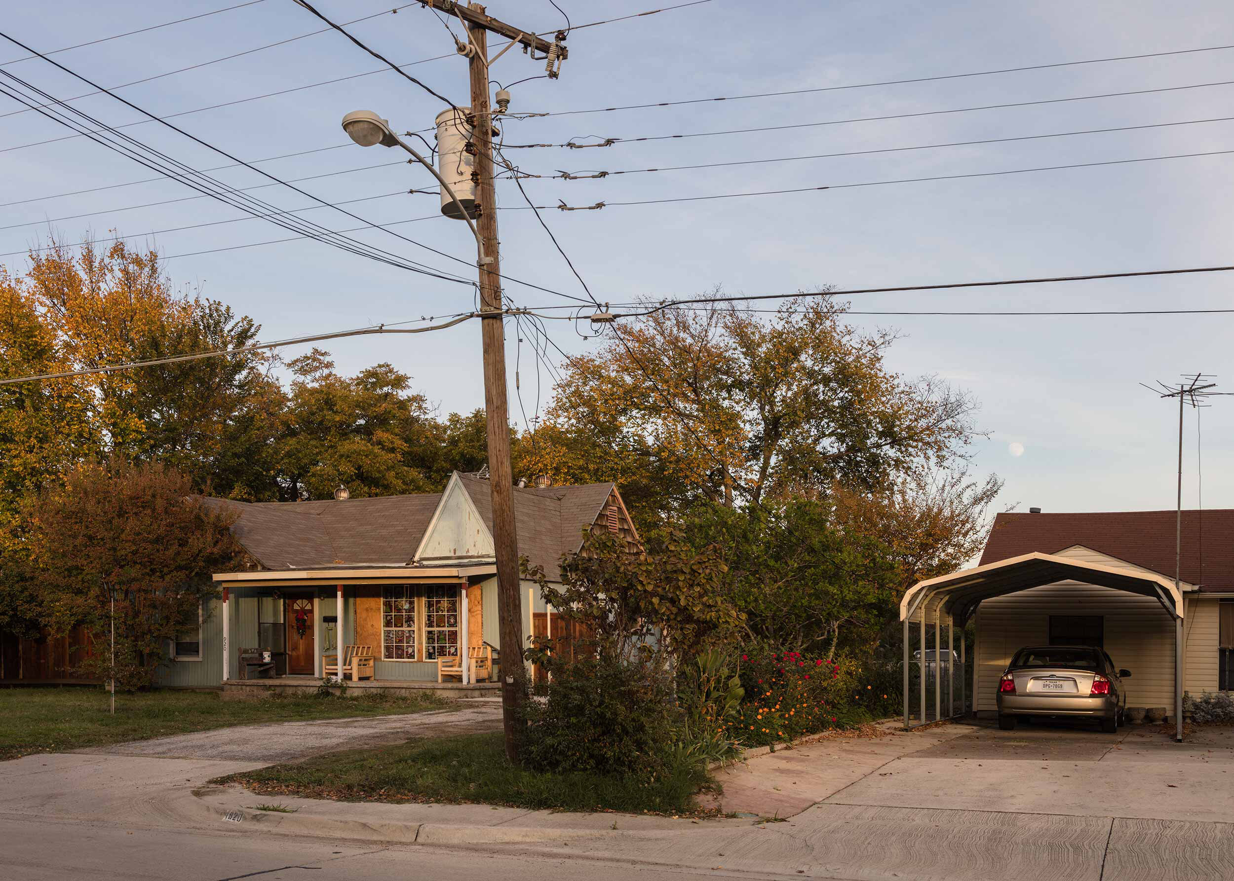
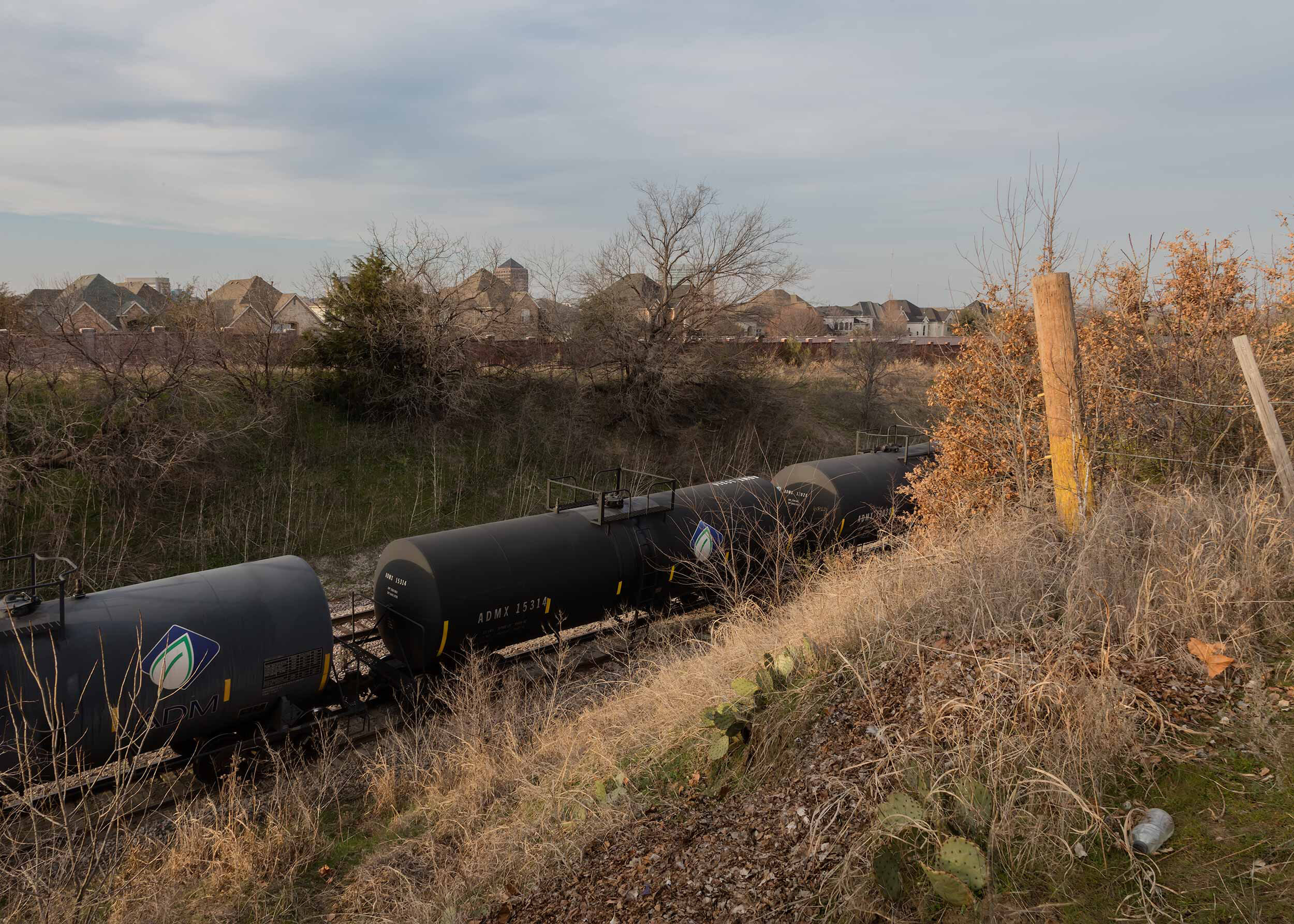
![Earthquake Epicenter: 2.7 magnitude in Cedar Hill on October 16, 2012 [foreground]](https://images.squarespace-cdn.com/content/v1/592f1fa1f5e231bbc6d4d24b/1593569306577-THSYDM72K3Z73YYVLQVW/JMB_frack-2280.jpg)
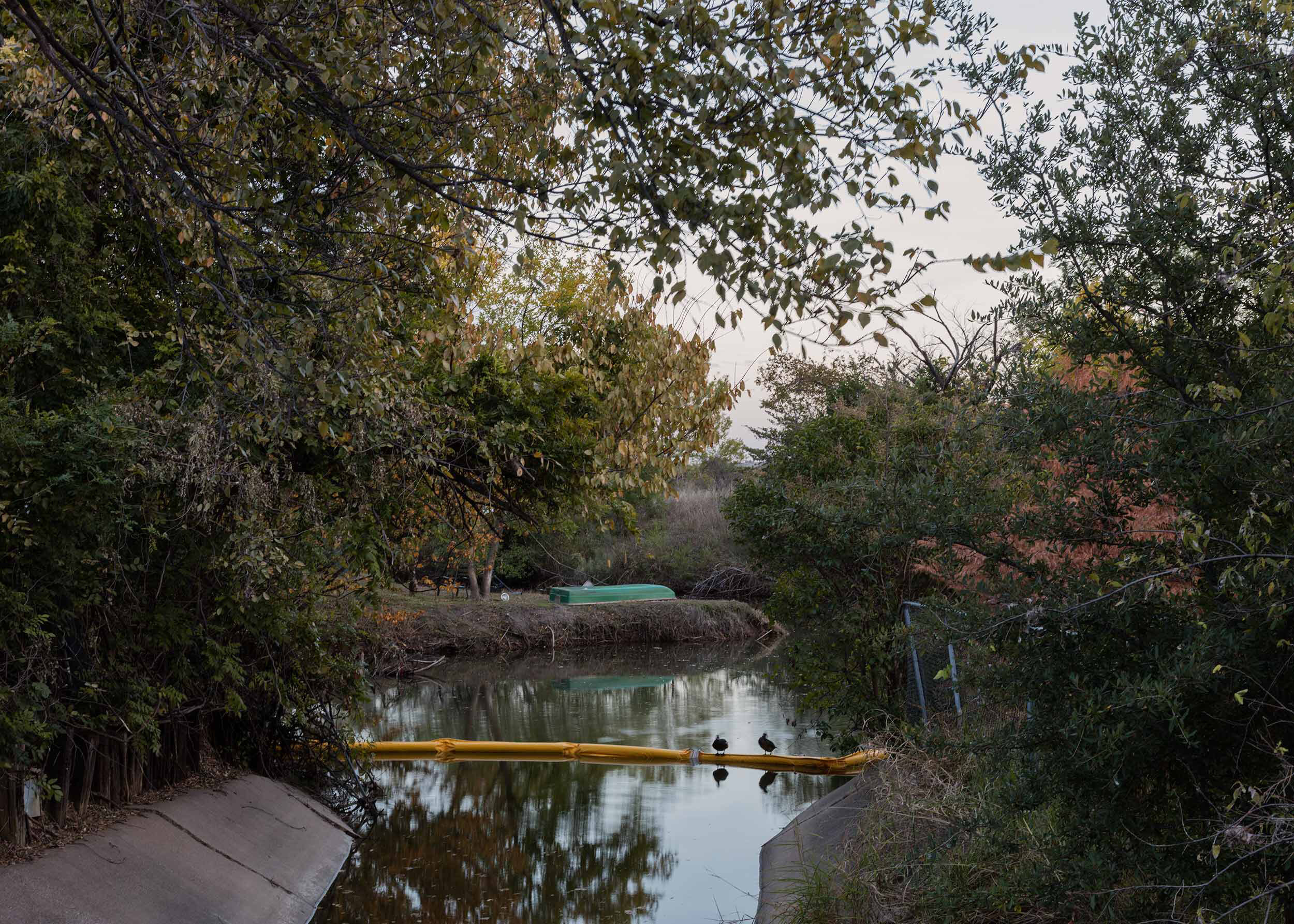
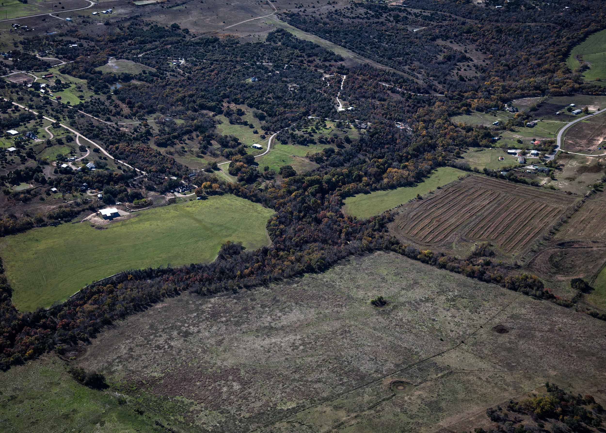
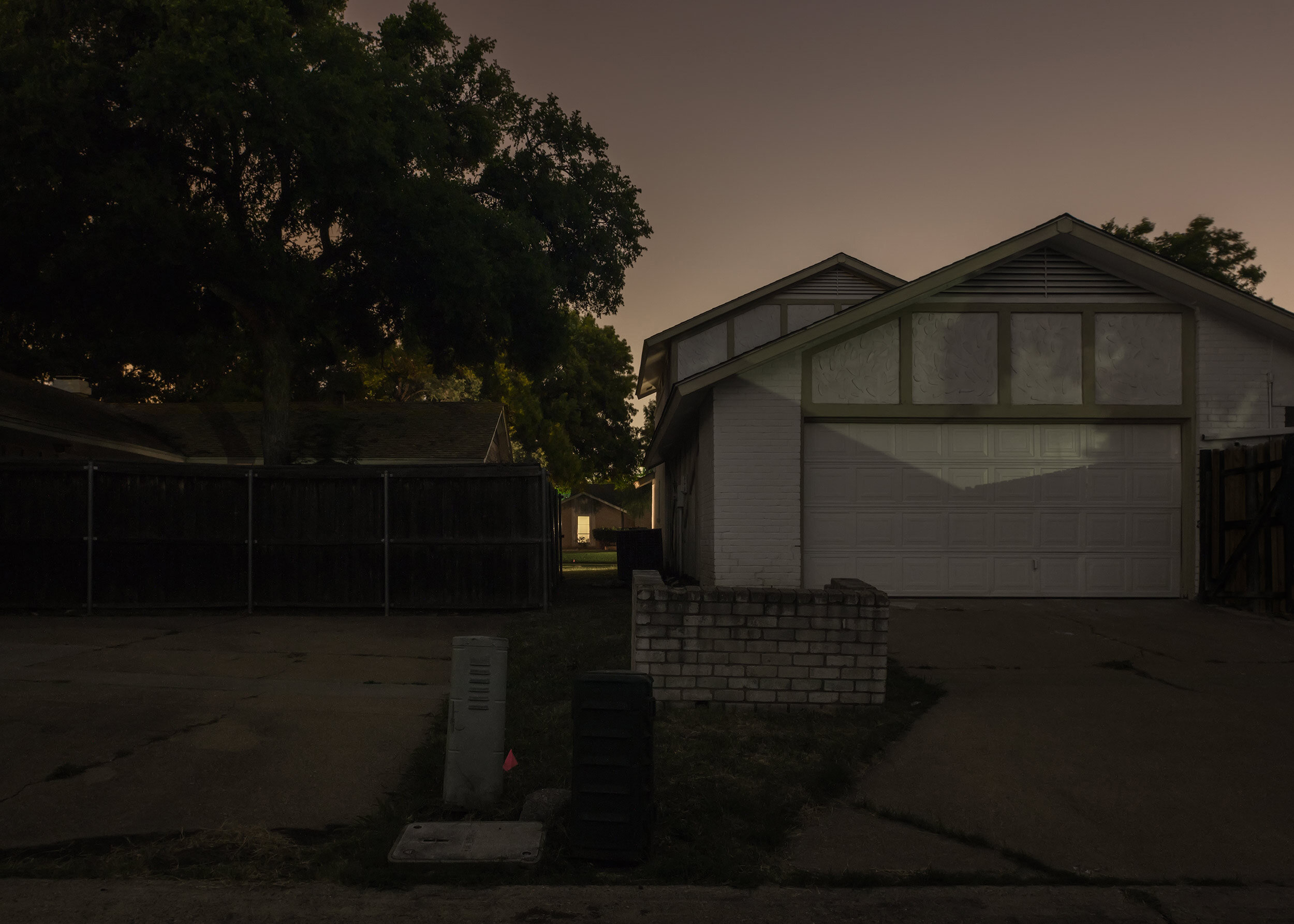
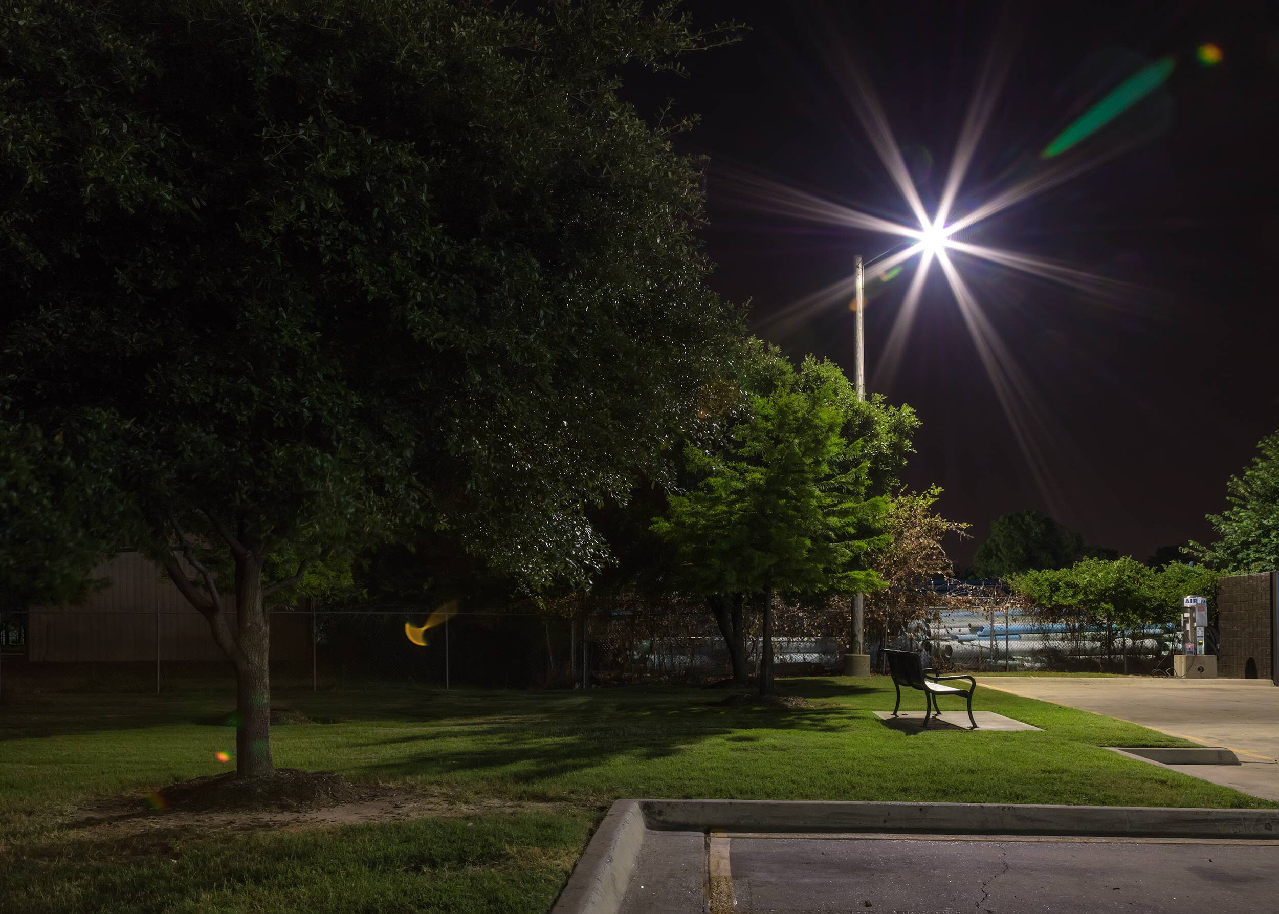
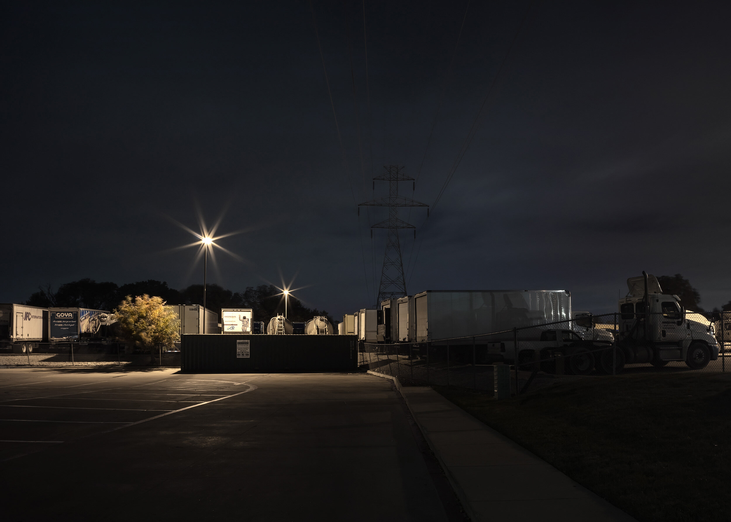
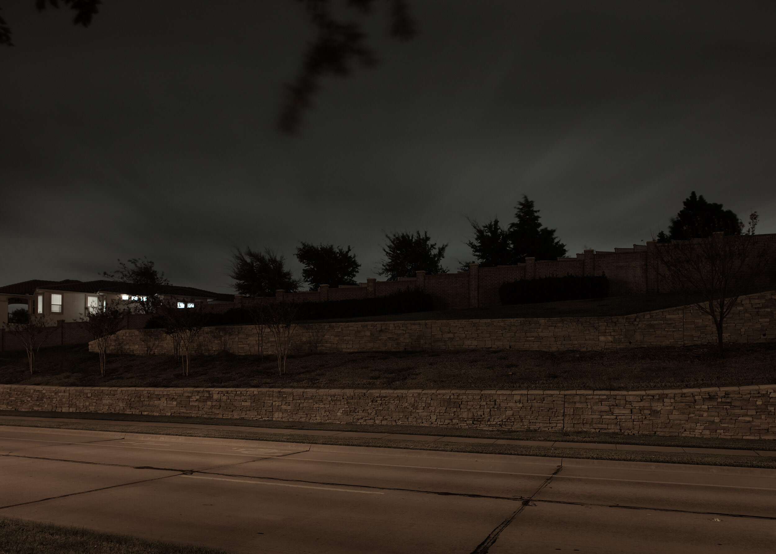
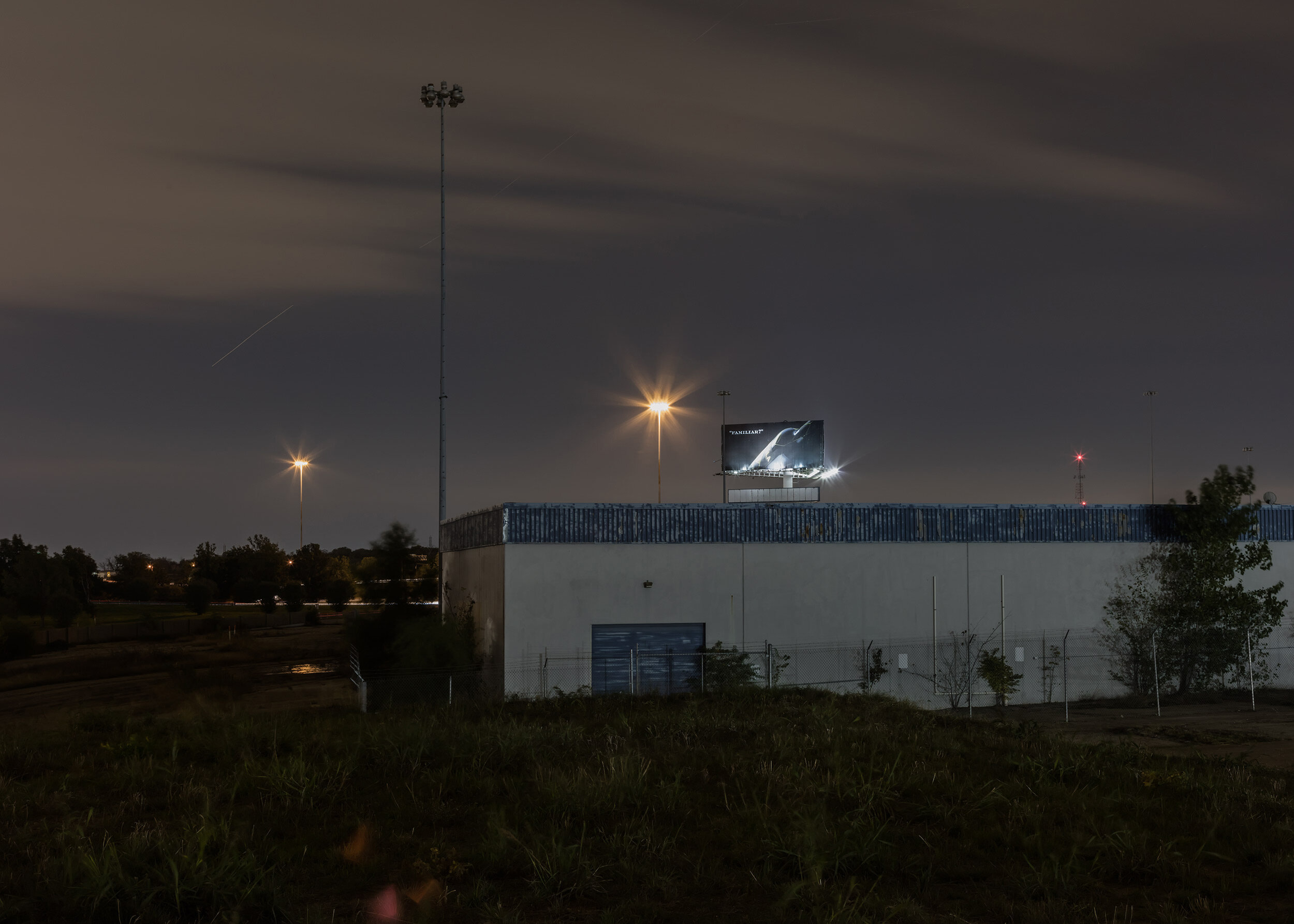
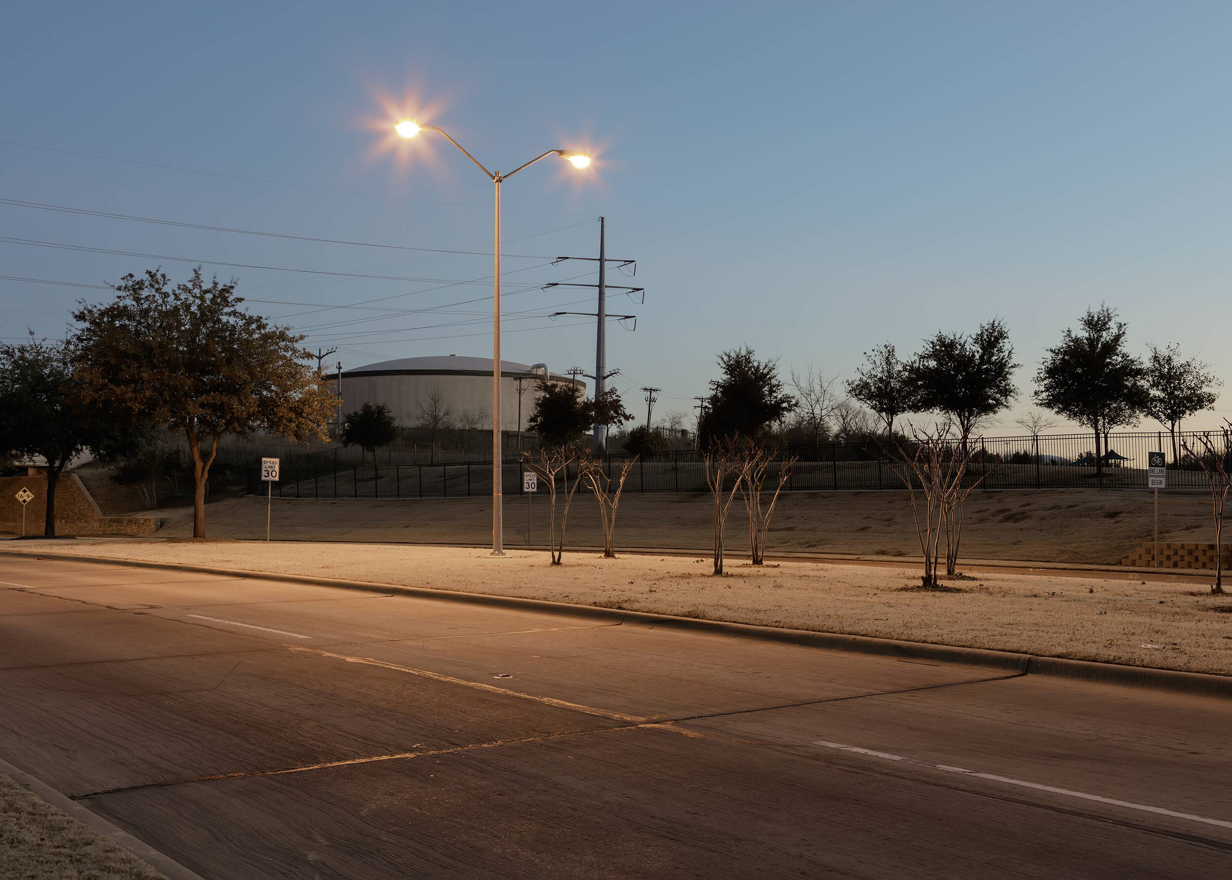
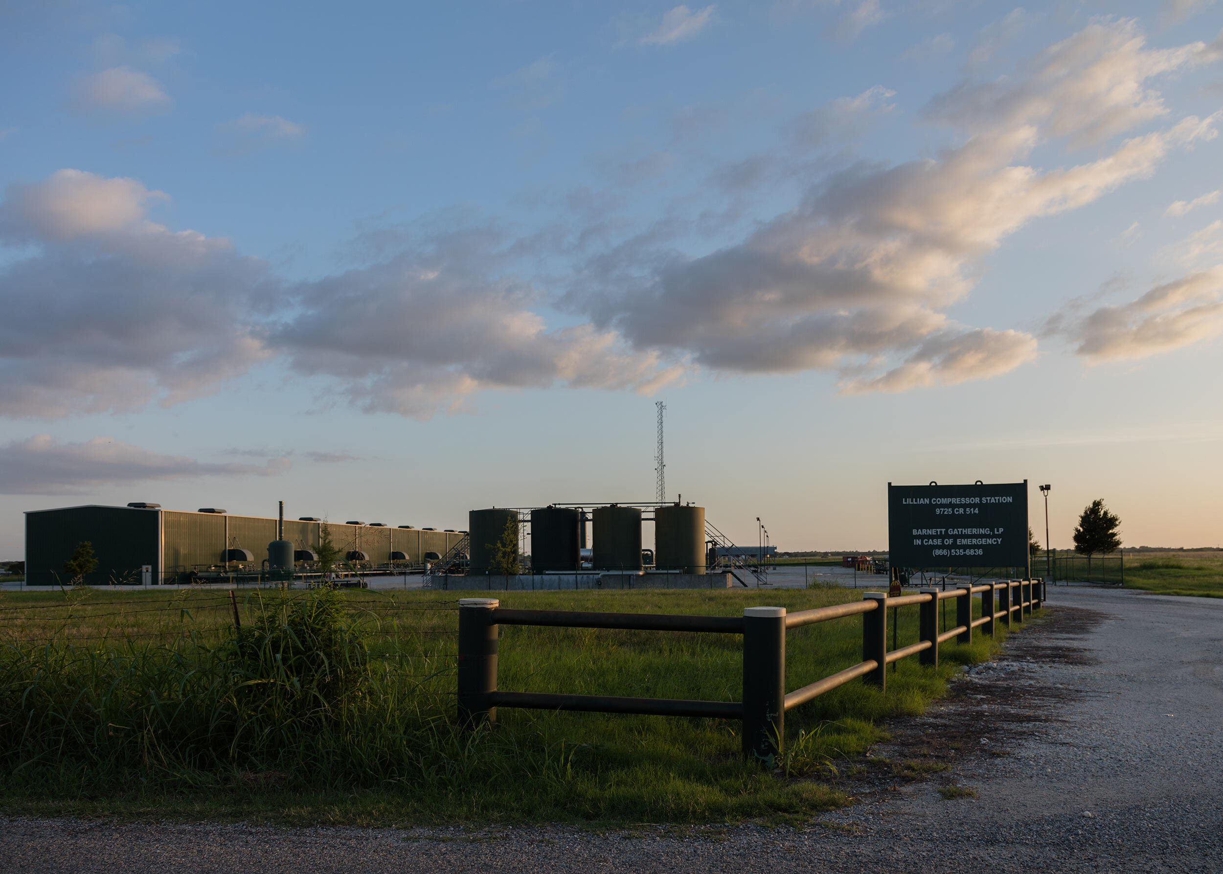
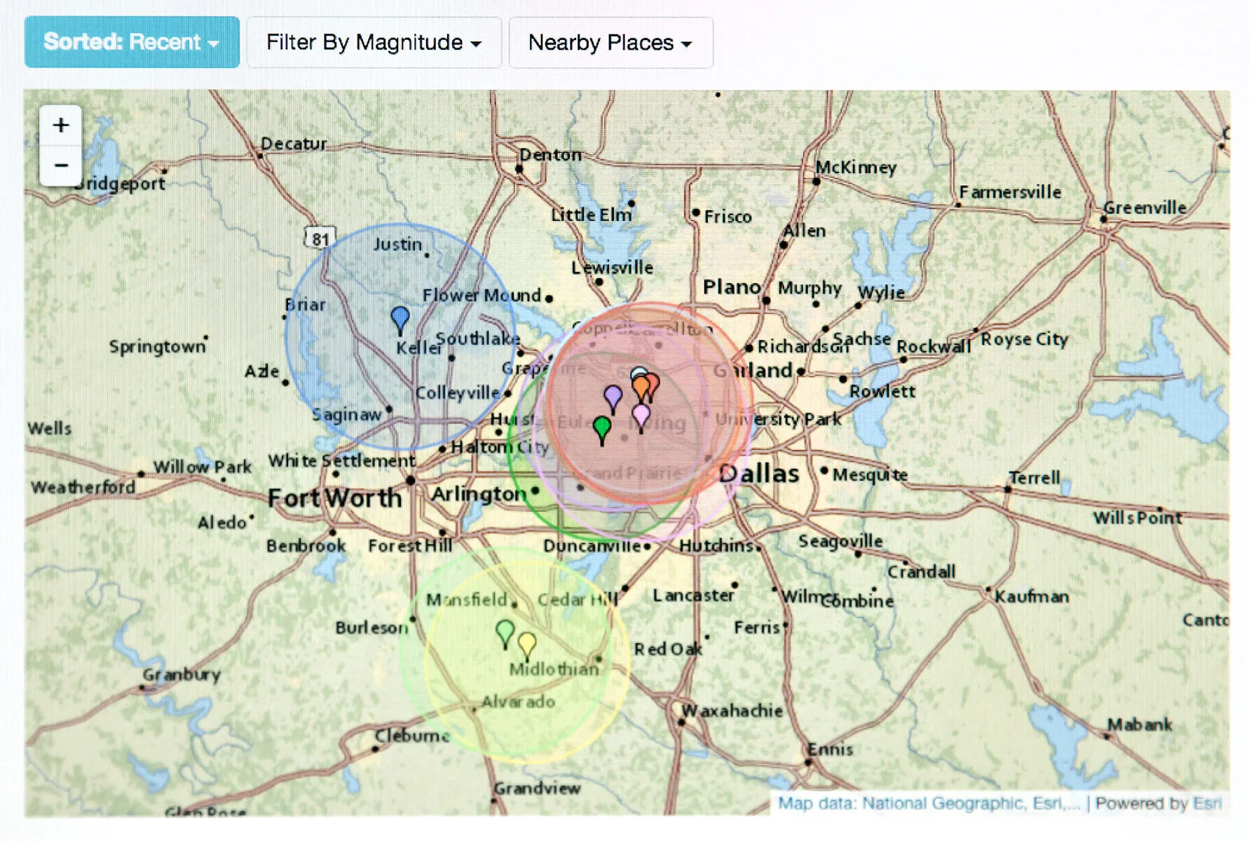
Image from Earthquaketrack.com showing the locations of epicenters from earthquakes in 2015 and 2016. Click here to view recent quakes.
The goal for this series is to visually highlight one of the main negative impacts of fracking as we currently know it. Because the seismic activity is still being studied, we aren’t fully aware of the ramifications due to this process. However, we know that the oil and gas industry is profit driven. And with wells not producing at their estimated rate, more wells are being drilled—producing substantially more wastewater, which in turn is being injected into numerous wastewater injection wells. Recent scientific research has shown these wastewater injection wells can activate fault lines up to a 50 km distance (31+ miles or so) from their location. And some would argue an even further distance. Suddenly, many communities have been thrown into active earthquake zones and are ill-equipped to deal with the damage from earthquakes. Especially when scientists are questioning applying the current Richter scale to measure the quakes due to the fact that they typically occur in clusters. And natural earthquakes usually move either side-to-side or up-and-down, where as man-made quakes can have both movements occur during the same seismic event.

Artist’s timeline of earthquake data pulled from the U.S. Geological Survey (earthquake.usgs.gov) and Earthquaketrack.com. Click here to download a copy.